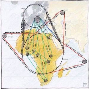
Activist Map - Maps between Art and Politics
Lecture by Philippe Rekacewicz, Geographer, Cartographer and Journalist, organized by the Institute for Art and Architecture.
A collaboration between the Arbeitskreis 'Enter Cartography', Zentrum für Kunst und Wissenstransfer, Universität für angewandte Kunst Wien, o.Univ.Prof. Dr. Christian Reder, Coordination Mag. Roswitha Peintner and the Platform Geography, Landscapes, Cities, Institute for Art and Architecture, Academy of Fine Arts Vienna, Coordination DI Antje Lehn and Univ. Prof. DI Stefan Gruber.
Philippe Rekacewicz is a geographer, cartographer and journalist. After the completion of his studies in Geography at the University of Paris la Sorbonne, he became in 1988 a permanent collaborator of the international newspaper Le Monde diplomatique in Paris (that includes today 70 editions in more than 30 languages). From 1996 to 2006, he was also heading the cartographic unit of a relocated office of UNEP (United Nations Environment Program) in Norway (UNEP/GRID-Arendal).

He is dedicated to issues such as demography and migration, refugees and displaced persons, as well as environmental questions. More broadly, his work is concerned geopolitics and geostrategy. Philippe Rekacewicz also leads a number of projects connecting cartography, art and politics, with a focus on how communities, political or economical powers produce a cartographic vision of the territories on which they operate, and how they can manipulate and lie with maps.
Since 2006, he also teaches regularly at the University of Bologna, Italy, in the Department of Historical Studies and Geography. He has since 1988, published more than 2000 original thematic maps, 20 atlases and written numerous articles. He has also participated in a number of exhibits linking cartography to art in Austria, Sweden, Spain and France.
